The engagement period for the draft Coastal Adaptation Plan has now closed.
Thankyou for all your comments.
All feedback received will be considered and incorporated into the final plan.
To keep updated, please keep visiting this page and our Facebook page.
Draft Coastal Adaptation Plan webinar recording | 5 Mar 2026
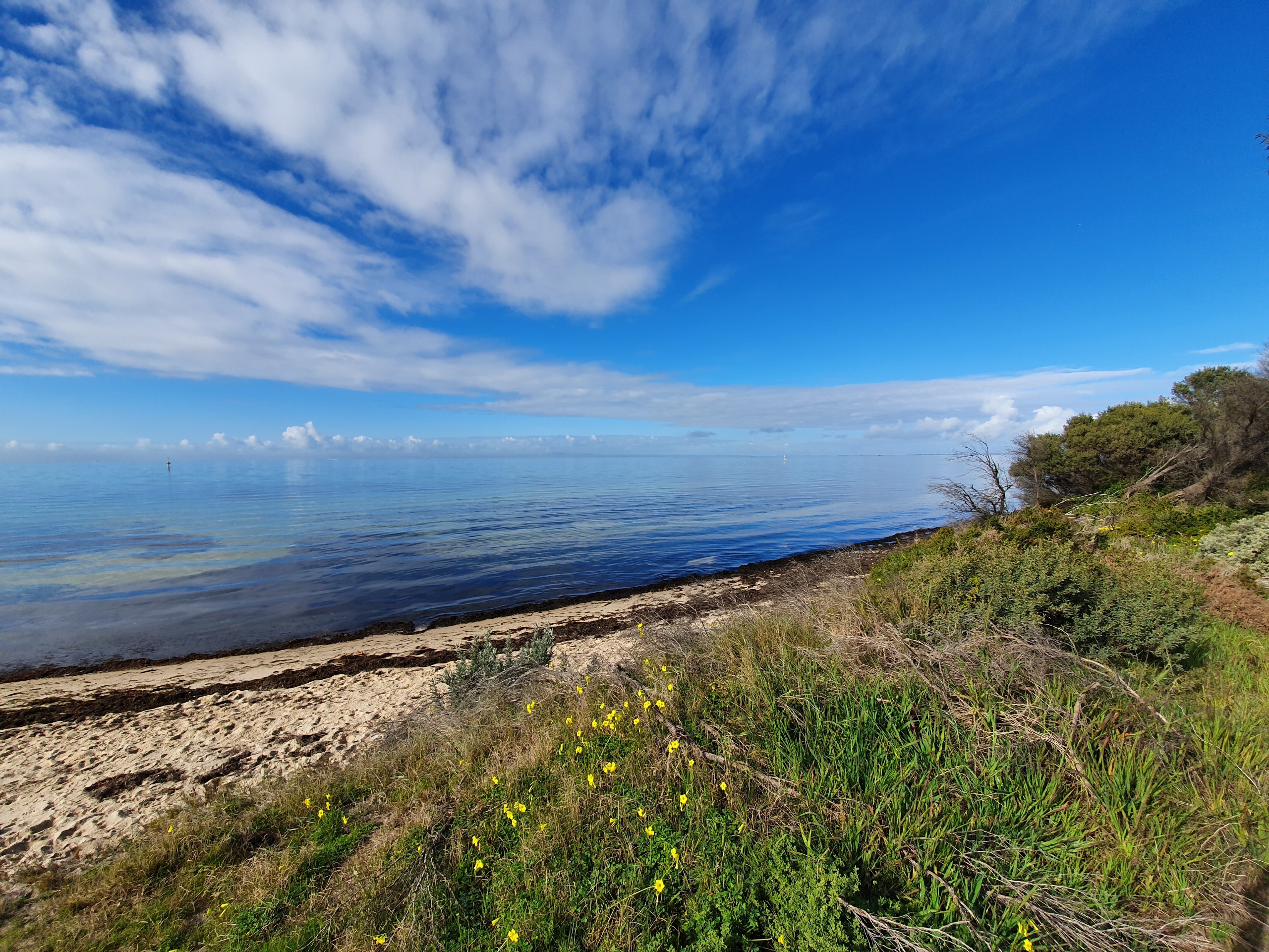
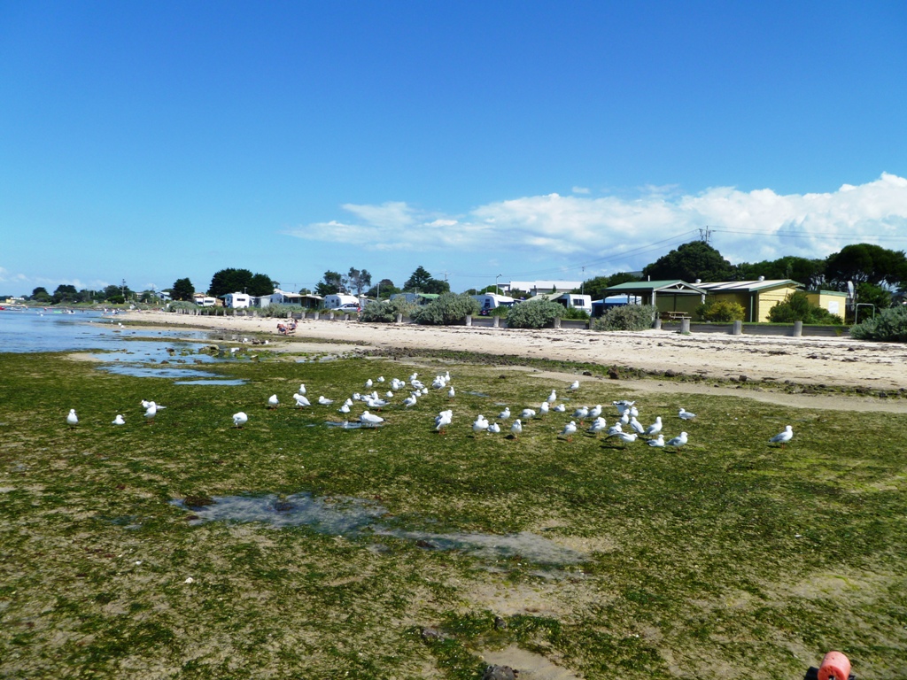
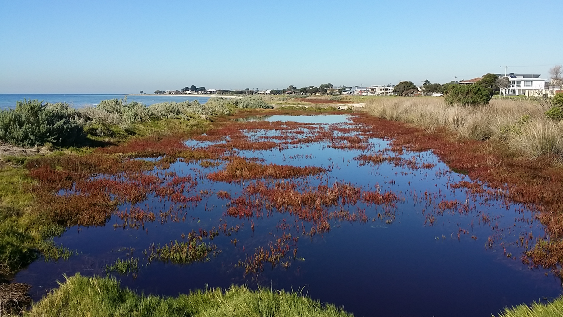
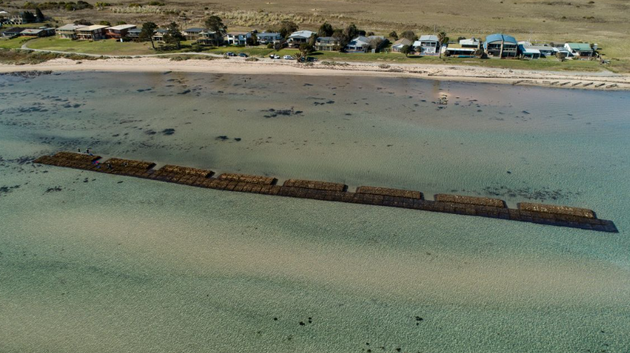
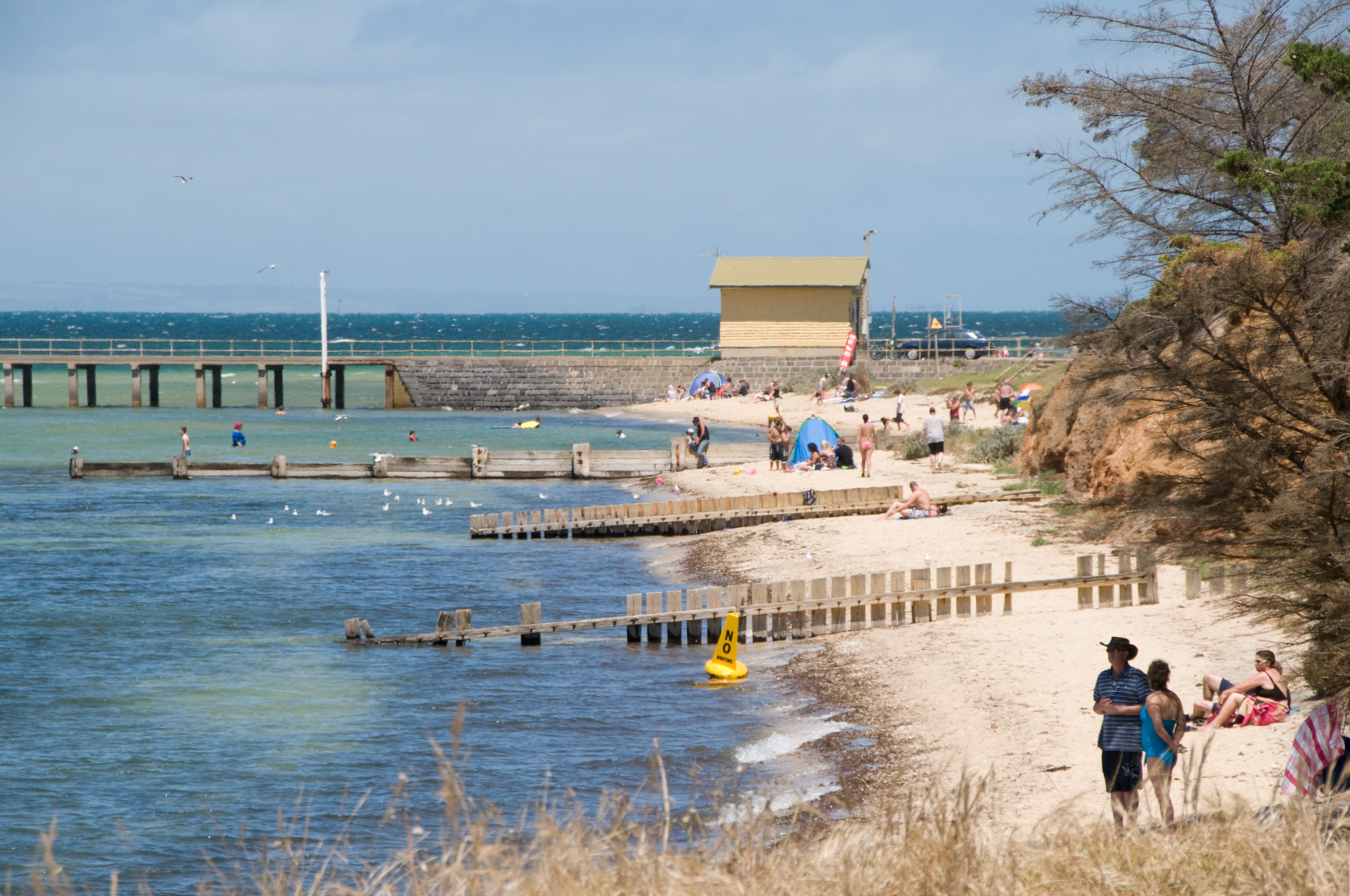
Image 1 of 16


Other Resources
Project Updates
Fact Sheets
Coastal Hazard Maps
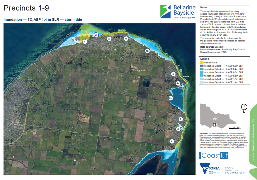
Coastal hazard maps for each precinct showing inundation extent for each sea level rise scenario
CoastKit is Victoria's marine and coastal interactive web-mapping portal.
![]() The Coastal Adaptation Plan is supported by the Victorian Government through Victoria’s Resilient Coast Grants program.
The Coastal Adaptation Plan is supported by the Victorian Government through Victoria’s Resilient Coast Grants program.


